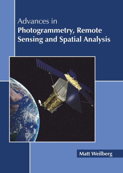
Advances in Photogrammetry, Remote Sensing and Spatial Analysis
Advances in photogrammetry, remote sensing and spatial analysis have occurred due to the rapid technological developments in the last decade. While remote sensing refers to acquiring information from remote places instead of on-site accession, photogrammetry is used to reconstruct measurements of instruments like maps through photographs, particularly regaining exact surface points for precise design. All three fields are integral to each other and have relevance across many different fields of study such as architecture, engineering, space engineering, etc. This book is a valuable compilation of topics, ranging from the basic to the most complex advancements in these fields. It elucidates new techniques and their applications in a multidisciplinary manner. As the fields are emerging at a rapid pace, the contents of this book will help the readers understand the modern concepts and applications of the subject
1131556605
Advances in Photogrammetry, Remote Sensing and Spatial Analysis
Advances in photogrammetry, remote sensing and spatial analysis have occurred due to the rapid technological developments in the last decade. While remote sensing refers to acquiring information from remote places instead of on-site accession, photogrammetry is used to reconstruct measurements of instruments like maps through photographs, particularly regaining exact surface points for precise design. All three fields are integral to each other and have relevance across many different fields of study such as architecture, engineering, space engineering, etc. This book is a valuable compilation of topics, ranging from the basic to the most complex advancements in these fields. It elucidates new techniques and their applications in a multidisciplinary manner. As the fields are emerging at a rapid pace, the contents of this book will help the readers understand the modern concepts and applications of the subject
146.0
In Stock
5
1

Advances in Photogrammetry, Remote Sensing and Spatial Analysis
218
Advances in Photogrammetry, Remote Sensing and Spatial Analysis
218Hardcover
$146.00
146.0
In Stock

Product Details
| ISBN-13: | 9781641160421 |
|---|---|
| Publisher: | CALLISTO REFERENCE |
| Publication date: | 06/25/2019 |
| Pages: | 218 |
| Product dimensions: | 8.50(w) x 11.00(h) x 0.56(d) |
From the B&N Reads Blog
