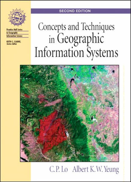
Concepts and Techniques of Geographic Information Systems / Edition 2

Concepts and Techniques of Geographic Information Systems / Edition 2

ISBN-10:
013149502X
ISBN-13:
9780131495029
Pub. Date:
06/01/2005
Publisher:
Prentice Hall
ISBN-10:
013149502X
ISBN-13:
9780131495029
Pub. Date:
06/01/2005
Publisher:
Prentice Hall
Concepts and Techniques of Geographic Information Systems / Edition 2

Concepts and Techniques of Geographic Information Systems / Edition 2

$139.87 Current price is , Original price is $139.87. You
$139.87 
  • SHIP THIS ITEM
    This item is available online through Marketplace sellers.
  • PICK UP IN STORE
    Check Availability at Nearby Stores
$73.43 
  • SHIP THIS ITEM

    Temporarily Out of Stock Online

    Please check back later for updated availability.

    • Condition: Good
    Note: Access code and/or supplemental material are not guaranteed to be included with used textbook.

This item is available online through Marketplace sellers.


Overview

Fully updated to reflect advances in GIS concepts and techniques, this guide approaches the subject from the broader context of information technology. Gives complete, up-to-date coverage to the concepts and techniques pertaining to every stage of the systems development life cycle of GIS, as well as its applications to various areas of spatial problem solving and decision making.

For GIS specialists, GIS technologists, GIS sales directors, urban planners, natural resource managers, land surveyors, geomatics engineers, and foresters who want a complete understanding of GIS and how GIS applies to their fields of interest.


Product Details

ISBN-13: 9780131495029
Publisher: Prentice Hall
Publication date: 06/01/2005
Series: Prentice-Hall Series in Geographic Information Science
Edition description: REV
Pages: 544
Product dimensions: 8.20(w) x 10.90(h) x 0.90(d)

Table of Contents

1. Introduction to Geographic Information Systems (GIS)
2. Maps and Geospatial Data
3. Digital Representation and Organization of Geospatial Data
4. Geospatial Data Quality and Standards

5. Raster Geoprocessing
6. Vector Geoprocessing
7. Geovisualization and Geospatial Information Products
8. Remote Sensing and GIS Integration
9. Digital Terrain Modeling
10. Spatial Data Analysis, Modeling and Mining
11. GIS Implementation and Project Management
12. GIS Issues and Prospects
Appendix A: Internet Resources for GIS
Appendix B: Glossary of GIS Terms
Index

From the B&N Reads Blog

Customer Reviews