
Delorme Atlas Wyoming 11E
With an incredible wealth of detail, DeLorme's Atlas & Gazetteer is the perfect companion for exploring the Wyoming outdoors. Extensively indexed, full-color topographic maps provide information on everything from cities and towns to historic sites, scenic drives, trailheads, boat ramps and even prime fishing spots. The Atlas & Gazetteer is your most comprehensive navigational guide to Wyoming's backcountry. - Full-color topographic maps provide information on everything from cities and towns to historic sites, scenic drives, recreation areas, trailheads, boat ramps and prime fishing spots. - Extensively indexed. - Handy latitude/longitude overlay grid for each map allows you to navigate with GPS. - Inset maps provided for Yellowstone National Park, major cities as well as all state lands. Product Details: Dimensions: 15.5" x 11".
1146500767
Delorme Atlas Wyoming 11E
With an incredible wealth of detail, DeLorme's Atlas & Gazetteer is the perfect companion for exploring the Wyoming outdoors. Extensively indexed, full-color topographic maps provide information on everything from cities and towns to historic sites, scenic drives, trailheads, boat ramps and even prime fishing spots. The Atlas & Gazetteer is your most comprehensive navigational guide to Wyoming's backcountry. - Full-color topographic maps provide information on everything from cities and towns to historic sites, scenic drives, recreation areas, trailheads, boat ramps and prime fishing spots. - Extensively indexed. - Handy latitude/longitude overlay grid for each map allows you to navigate with GPS. - Inset maps provided for Yellowstone National Park, major cities as well as all state lands. Product Details: Dimensions: 15.5" x 11".
29.95
In Stock
5
1


Delorme Atlas Wyoming 11E
72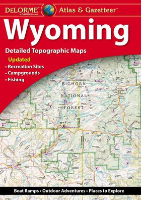
Delorme Atlas Wyoming 11E
72
$29.95
29.95
In Stock

Product Details
| ISBN-13: | 9781946494894 |
|---|---|
| Publisher: | Garmin |
| Publication date: | 10/30/2024 |
| Pages: | 72 |
| Product dimensions: | 10.80(w) x 15.30(h) x 0.25(d) |
From the B&N Reads Blog