
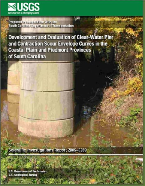
Development and Evaluation of Clear-Water Pier and Contraction Scour Envelope Curves in the Coastal Plain and Piedmont Provinces of South Carolina
The U.S. Geological Survey in cooperation with the South Carolina Department of Transportation collected clear-water pier- and contraction-scour data at 116 bridges in the Coastal Plain and Piedmont Physiographic Provinces of South Carolina. Pier-scour depths collected in both provinces ranged from 0 to 8.0 feet. Contraction-scour depths collected in the Coastal Plain ranged from 0 to 3.9 feet. Using hydraulic data estimated with a one-dimensional flow model, predicted clear-water scour depths were computed with scour equations from the Federal Highway Administration Hydraulic
Engineering Circular 18 and compared with measured scour. This comparison indicated that predicted clear-water scour depths, in general, exceeded measured scour depths and at times were excessive. Predicted clear-water contraction scour, however, was underpredicted approximately 30 percent of the time by as much as 7.1 feet.
1110951886
Engineering Circular 18 and compared with measured scour. This comparison indicated that predicted clear-water scour depths, in general, exceeded measured scour depths and at times were excessive. Predicted clear-water contraction scour, however, was underpredicted approximately 30 percent of the time by as much as 7.1 feet.
Development and Evaluation of Clear-Water Pier and Contraction Scour Envelope Curves in the Coastal Plain and Piedmont Provinces of South Carolina
The U.S. Geological Survey in cooperation with the South Carolina Department of Transportation collected clear-water pier- and contraction-scour data at 116 bridges in the Coastal Plain and Piedmont Physiographic Provinces of South Carolina. Pier-scour depths collected in both provinces ranged from 0 to 8.0 feet. Contraction-scour depths collected in the Coastal Plain ranged from 0 to 3.9 feet. Using hydraulic data estimated with a one-dimensional flow model, predicted clear-water scour depths were computed with scour equations from the Federal Highway Administration Hydraulic
Engineering Circular 18 and compared with measured scour. This comparison indicated that predicted clear-water scour depths, in general, exceeded measured scour depths and at times were excessive. Predicted clear-water contraction scour, however, was underpredicted approximately 30 percent of the time by as much as 7.1 feet.
Engineering Circular 18 and compared with measured scour. This comparison indicated that predicted clear-water scour depths, in general, exceeded measured scour depths and at times were excessive. Predicted clear-water contraction scour, however, was underpredicted approximately 30 percent of the time by as much as 7.1 feet.
5.99
In Stock
5
1

Development and Evaluation of Clear-Water Pier and Contraction Scour Envelope Curves in the Coastal Plain and Piedmont Provinces of South Carolina
Development and Evaluation of Clear-Water Pier and Contraction Scour Envelope Curves in the Coastal Plain and Piedmont Provinces of South Carolina
eBook
$5.99
Related collections and offers
5.99
In Stock

Product Details
| BN ID: | 2940014447317 |
|---|---|
| Publisher: | The Delano Max Wealth Institute, LLC. |
| Publication date: | 05/10/2012 |
| Sold by: | Barnes & Noble |
| Format: | eBook |
| File size: | 7 MB |
From the B&N Reads Blog