
Earth Observation using Scatterometers: State-of-the-Art Techniques, Applications, and Challenges
Earth Observation using Scatterometers: State-of-the-Art Techniques, Applications, and Challenges explores the critical role scatterometers play in addressing natural disasters, climate action, and food security. It provides comprehensive guidance on leveraging scatterometers for real-time applications, including advanced techniques like super-resolution mapping and multi-source data fusion. This book is an essential resource for understanding the challenges and opportunities of scatterometer satellite datasets. In addition to covering the latest advancements in algorithms and emerging applications, it empowers professionals to efficiently analyze vast amounts of Earth observation data.The book addresses scatterometers' expanding applicability in oceanography, agriculture, the cryosphere, and related Earth-science fields, making it invaluable for scientists, geospatial data analysts, and students of Remote Sensing and Geoscience.- Provides detailed instruction on the applications of scatterometers to a wide range of Earth sciences, including benefits and case studies showing real world use- Covers the use of scatterometers in analyzing and responding to natural disasters, including analysis of sea-ice melt, cyclone predictions, etc.- Includes techniques for monitoring the cryosphere and global climate, with dedicated methodology and data analysis
1147057878
Earth Observation using Scatterometers: State-of-the-Art Techniques, Applications, and Challenges
Earth Observation using Scatterometers: State-of-the-Art Techniques, Applications, and Challenges explores the critical role scatterometers play in addressing natural disasters, climate action, and food security. It provides comprehensive guidance on leveraging scatterometers for real-time applications, including advanced techniques like super-resolution mapping and multi-source data fusion. This book is an essential resource for understanding the challenges and opportunities of scatterometer satellite datasets. In addition to covering the latest advancements in algorithms and emerging applications, it empowers professionals to efficiently analyze vast amounts of Earth observation data.The book addresses scatterometers' expanding applicability in oceanography, agriculture, the cryosphere, and related Earth-science fields, making it invaluable for scientists, geospatial data analysts, and students of Remote Sensing and Geoscience.- Provides detailed instruction on the applications of scatterometers to a wide range of Earth sciences, including benefits and case studies showing real world use- Covers the use of scatterometers in analyzing and responding to natural disasters, including analysis of sea-ice melt, cyclone predictions, etc.- Includes techniques for monitoring the cryosphere and global climate, with dedicated methodology and data analysis
174.99
In Stock
5
1

Earth Observation using Scatterometers: State-of-the-Art Techniques, Applications, and Challenges
420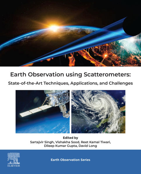
Earth Observation using Scatterometers: State-of-the-Art Techniques, Applications, and Challenges
420
174.99
In Stock

Product Details
| ISBN-13: | 9780443313813 |
|---|---|
| Publisher: | Elsevier Science |
| Publication date: | 10/01/2025 |
| Series: | Earth Observation |
| Sold by: | Barnes & Noble |
| Format: | eBook |
| Pages: | 420 |
| File size: | 9 MB |
About the Author
What People are Saying About This
From the B&N Reads Blog