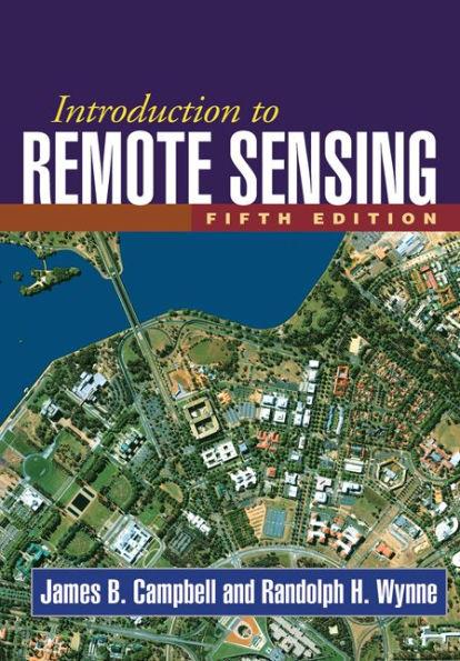
Introduction to Remote Sensing, Fifth Edition / Edition 5

Introduction to Remote Sensing, Fifth Edition / Edition 5

ISBN-10:
160918176X
ISBN-13:
9781609181765
Pub. Date:
06/21/2011
Publisher:
Guilford Publications, Inc.
ISBN-10:
160918176X
ISBN-13:
9781609181765
Pub. Date:
06/21/2011
Publisher:
Guilford Publications, Inc.
Introduction to Remote Sensing, Fifth Edition / Edition 5

Introduction to Remote Sensing, Fifth Edition / Edition 5

$125.0 Current price is , Original price is $125.0. You
$116.63 
  • SHIP THIS ITEM
    Not Eligible for Free Shipping
  • PICK UP IN STORE
    Check Availability at Nearby Stores
$85.20 
  • SHIP THIS ITEM

    Temporarily Out of Stock Online

    Please check back later for updated availability.

    • Condition: Good
    Note: Access code and/or supplemental material are not guaranteed to be included with used textbook.

Overview

This book has been replaced by Introduction to Remote Sensing, Sixth Edition, 978-1-4625-4940-5.


Product Details

ISBN-13: 9781609181765
Publisher: Guilford Publications, Inc.
Publication date: 06/21/2011
Edition description: Fifth Edition
Pages: 667
Product dimensions: 7.30(w) x 10.10(h) x 1.50(d)

About the Author

James B. Campbell, PhD, is Professor of Geography at Virginia Tech, where he teaches remote sensing, quantitative methods, and geomorphology. He has worked closely with students and faculty in related fields such as forestry, geology, agronomy, environmental sciences, and planning. Since 1997 he has served as Codirector of Virginia Tech’s Center for Environmental Applications of Remote Sensing (CEARS). The author of numerous technical articles and several books, Dr. Campbell has received the Outstanding Service Award and the Fellow Award of the American Society for Photogrammetry and Remote Sensing. He is also a recipient of the Outstanding Service Medal awarded by the Remote Sensing Specialty Group of the Association of American Geographers. Dr. Campbell has been active in the AmericaView Program, including service as a principal investigator for the VirginiaView consortium and as a member and chair of the AmericaView Board of Directors. In 2020, he was the first recipient of the AmericaView Lifetime Achievement Award.


Randolph H. Wynne is Professor in the Forest Resources and Environmental Conservation Department at Virginia Tech. He also serves as Remote Sensing Team Leader for the Forest Productivity Cooperative, Associate Director of the Conservation Management Institute, and Codirector of CEARS. He teaches courses in forest photogrammetry and spatial data processing and remote sensing of natural resources. Dr. Wynne’s research interests are in the applications of remote sensing to forestry, natural resource management, ecology, ecosystem services, and earth system science.

Table of Contents

Part I. Foundations
1. History and Scope of Remote Sensing
2. Electromagnetic Radiation
Part II. Image Acquisition
3. Mapping Cameras
4. Digital Imagery
5. Image Interpretation
6. Land Observation Satellites
7. Active Microwave
8. Lidar
9. Thermal Imagery
10. Image Resolution
Part III. Analysis
11. Preprocessing
12. Image Classification
13. Field Data
14. Accuracy Assessment
15. Hyperspectral Remote Sensing
16. Change Detection
Part IV. Applications
17. Plant Sciences
18. Earth Sciences
19. Hydrospheric Sciences
20. Land Use and Land Cover
21. Global Remote SensingConclusion. The Outlook for the Field of Remote Sensing: The View from 2011

From the B&N Reads Blog

Customer Reviews