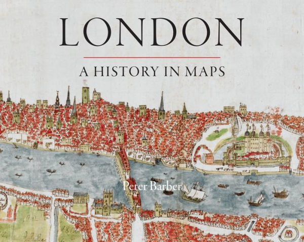
London: A History in Maps

London: A History in Maps

by Peter Barber
London: A History in Maps

London: A History in Maps

by Peter Barber

Hardcover

$49.95 
  • SHIP THIS ITEM
    Not Eligible for Free Shipping
  • PICK UP IN STORE
    Check Availability at Nearby Stores

Related collections and offers


Overview

Over the past 2000 years, London has developed from a small town, fitting snugly within its walls, into one of the world's largest and most dynamic cities. London: A History in Maps illustrates and helps to explain the transformation using over 400 examples of maps. Side-by-side with the great, semi-official, but sanitized images of the whole city, there are the more utilitarian maps and plans of the parts—actual and envisaged—which perhaps present more than topographical records. They all have something unique to say about the time when they were created. Peter Barber's book reveals the "inside story" behind one of the world's greatest cities.

Product Details

ISBN-13: 9780712358798
Publisher: British Library Publishing
Publication date: 09/01/2012
Series: London Topographical Society Publication
Pages: 224
Sales rank: 1,004,994
Product dimensions: 9.50(w) x 12.20(h) x 1.30(d)

About the Author

Peter Barber is Head of Map Collections at the British Library. His many books include The Map Book and (with Tom Harper) Magnificent Maps: Power, Propaganda and Art.

Table of Contents

Editorial
London: A History in Maps

Section One: The Walled City 50-1066
1.1 Within the Walls
1.2 A Renaissance Vision
1.3 London from Bankside
1.4 The First Maps
1.5 The London Reality
Section Two: London Reborn
2.1 Building the City
2.2 The City and Westminster
2.3 Profiting from Development
2.4 The Coming of the West End
2.5 London Life
Section Three: 'Sweet, Salutarie Air': London's Countryside
3.1 London's Villages
3.2 From Noble Mansion to Gentleman's Villa
3.3 'Sweet, Salutarie Air'
Section Four: Out of Sight: The East End and Docklands
4.1 London's Workshop
4.2 The Coming of the Docks
Section Five: The Age of Improvement
5.1 The Demands of Commerce
5.2 Regency Grandeur
Section Six: The Mean Streets of Victorian London
6.1 Unbridled Growth
6.2 Hard Times
6.3 The Coming of the Railways
6.4 Sewage and London-wide Government
6.5 Open Spaces, Health and Social Harmony
6.6 New Roads for Old
6.7 Stanfords for Maps
Section Seven: Metroland
7.1 Different Londons
7.2 Be a Sport . . .
7.3 Imperial Grandeur
7.4 Getting Around
7.5 A to Z
7.6 Destruction from the Air
Section Eight: Maps in Modern London
8.1 Convulsions
8.2 London Resurgent
8.3 London Present and Future

Select Reading List on Historic Maps of London
Index of People
General Index
From the B&N Reads Blog

Customer Reviews