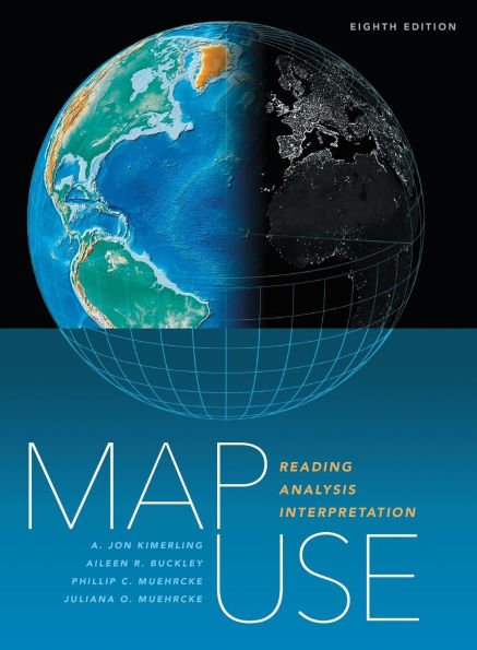
Nearly 600 full-color maps, photographs, and graphs illustrate the concepts behind communicating with maps, while PowerPoint slides (available through the book resource page at https://links.esri.com/MapUseSlides) further support use of the text in the classroom.
The book renders basic cartographic principles accessible to all, from students of cartography and map design to those without a formal education in geography. Accommodating new developments in GPS and geographic information system technology, Map Use: Reading, Analysis, Interpretation, eighth edition can serve as an excellent introductory GIS text.

Map Use: Reading, Analysis, Interpretation
666
Map Use: Reading, Analysis, Interpretation
666Hardcover(Eighth Edition)

Product Details
| ISBN-13: | 9781589488410 |
|---|---|
| Publisher: | Esri Press |
| Publication date: | 03/04/2025 |
| Series: | Map Use , #8 |
| Edition description: | Eighth Edition |
| Pages: | 666 |
| Product dimensions: | 8.38(w) x 10.88(h) x 0.00(d) |
