
A journal of the perilous 1869 expedition to map the Colorado River and the Grand Canyon.
1146747065
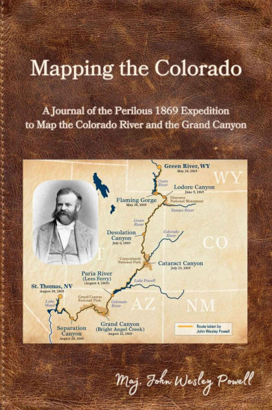
Mapping the Colorado
A journal of the perilous 1869 expedition to map the Colorado River and the Grand Canyon.
4.99
In Stock
5
1

Mapping the Colorado
Mapping the Colorado
Related collections and offers
4.99
In Stock

Product Details
| BN ID: | 2940184404820 |
|---|---|
| Publisher: | Barnes & Noble Press |
| Publication date: | 12/31/2024 |
| Sold by: | Barnes & Noble |
| Format: | eBook |
| File size: | 2 MB |
About the Author
From the B&N Reads Blog