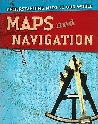
Maps and Navigation

Maps and Navigation

by Tim Cooke
Maps and Navigation

Maps and Navigation

by Tim Cooke

Paperback

$14.05 
  • SHIP THIS ITEM
    Qualifies for Free Shipping
  • PICK UP IN STORE
    Check Availability at Nearby Stores

Related collections and offers


Overview

Ancient navigators plotted their courses by reference to the position of the Sun or the stars. This book traces the fascinating development of pathfinding techniques, from these early beginnings to modern radar and global positioning satellites.

Product Details

ISBN-13: 9781433935107
Publisher: Gareth Stevens Publishing
Publication date: 01/01/2010
Series: Understanding Maps of Our World
Pages: 48
Product dimensions: 8.20(w) x 10.30(h) x 0.20(d)
Age Range: 11 - 13 Years

Table of Contents

The Changing Shape of the World 4

Introduction 6

Using the Stars 8

Early Navigation 10

On the Ocean 12

Early Charts 14

Legendary Voyages 16

Portolan Charts 20

Longitude 22

Captain Cook 24

Nautical Charts 26

Radar 28

Global Positioning 32

Navigating in the Air 36

Changes in the Air 38

Glossary 40

Further Reading and Web Sites 45

Index 47

From the B&N Reads Blog

Customer Reviews