To encompass all these above mentioned factors and classify regional variability for policy planning, satellite remote sensing and geographical information systems have the immense potential to increase agricultural and forest productivity to ensure the resilience of its sustainability. Therefore, the 13 chapters presented in this book introduce modeling techniques using the signatures of vegetation and water indices, land use and land change dynamics, climatic, and socioeconomic criteria through spatial, temporal, and statistical analysis. As well, remote sensing and in-depth GIS analysis are integrated with machine and deep learning algorithms to address natural uncertainties such as flash floods, droughts, and cyclones in agricultural production management.
To encompass all these above mentioned factors and classify regional variability for policy planning, satellite remote sensing and geographical information systems have the immense potential to increase agricultural and forest productivity to ensure the resilience of its sustainability. Therefore, the 13 chapters presented in this book introduce modeling techniques using the signatures of vegetation and water indices, land use and land change dynamics, climatic, and socioeconomic criteria through spatial, temporal, and statistical analysis. As well, remote sensing and in-depth GIS analysis are integrated with machine and deep learning algorithms to address natural uncertainties such as flash floods, droughts, and cyclones in agricultural production management.

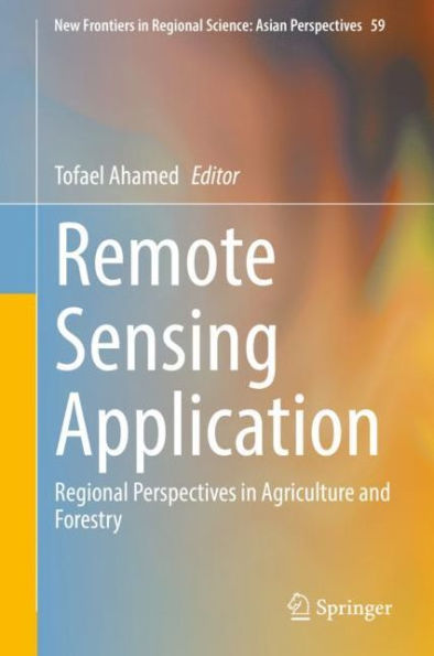
Remote Sensing Application: Regional Perspectives in Agriculture and Forestry
361
Remote Sensing Application: Regional Perspectives in Agriculture and Forestry
361Hardcover(1st ed. 2022)

Product Details
| ISBN-13: | 9789811902123 |
|---|---|
| Publisher: | Springer Nature Singapore |
| Publication date: | 05/07/2022 |
| Series: | New Frontiers in Regional Science: Asian Perspectives , #59 |
| Edition description: | 1st ed. 2022 |
| Pages: | 361 |
| Product dimensions: | 6.10(w) x 9.25(h) x (d) |
