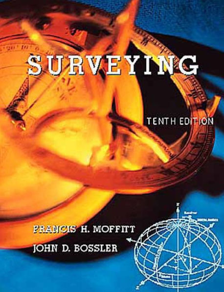
Surveying / Edition 10

Surveying / Edition 10

by Francis Moffitt, John Bossler
ISBN-10:
0673997529
ISBN-13:
9780673997524
Pub. Date:
09/18/1997
Publisher:
Pearson Education
ISBN-10:
0673997529
ISBN-13:
9780673997524
Pub. Date:
09/18/1997
Publisher:
Pearson Education
Surveying / Edition 10

Surveying / Edition 10

by Francis Moffitt, John Bossler
$206.65 Current price is , Original price is $206.65. You
$206.65 
  • SHIP THIS ITEM
    This item is available online through Marketplace sellers.
  • PICK UP IN STORE
    Check Availability at Nearby Stores
$42.23 
  • SHIP THIS ITEM

    Temporarily Out of Stock Online

    Please check back later for updated availability.

    • Condition: Good
    Note: Access code and/or supplemental material are not guaranteed to be included with used textbook.

This item is available online through Marketplace sellers.


Overview

The practice of modern surveying is undergoing rapid change due to the availability of electronically controlled instruments, the widespread adoption of the Global Positioning System (GPS), and the proliferation of various geographic Land Information Systems (GIS/LIS). Nevertheless, the principles underlying these new technologies remain constant. In the tenth edition of this benchmark text, Frank Moffitt and John Bossler strike the appropriate balance between teaching students the fundamental principles of surveying and bringing them up to date on the technological advances that are changing the field.

The tenth edition of this classic work completely modernizes much of the notation, form, and substance of the original. By removing much of the dated information, the authors have been able to add entire new chapters on GPS and GIS. Throughout the text, emphasis is placed on NAD 83 over NAD 27 as the new datum is being utilized more frequently.

Readers familiar with previous editions of this textbook will still recognize its clear, yet rigorous explanation of topics. No shortcuts are taken in the presentation of material from the time a concept is introduced through its exploration in worked examples. The book's tradition of covering both plane and geodetic surveying has been preserved, which makes it the most comprehensive introductory text on surveying in the market.


Product Details

ISBN-13: 9780673997524
Publisher: Pearson Education
Publication date: 09/18/1997
Edition description: REV
Pages: 752
Product dimensions: 7.30(w) x 9.10(h) x 1.80(d)

About the Author

John D. Bossler is Director of the Center for Mapping at The Ohio State University. He is also Professor of Geodetic Science and Surveying in the University,s Department of Civil and Environmental Engineering and Geodetic Science. As the former Director of the Coast and Geodetic Survey, Dr. Bossler received the Department of Commerce Gold Medal for his management of the redefinition of the North American Datum (NAD83) project. He is a Past President of the American Congress on Surveying and Mapping and is a Fellow and Past President of the Geodesy Section of the American Geophysical Union. A distinguished author and researcher, Professor Bossler has written over 100 papers and articles in the fields of geodesy, photogrammetry, and geographic information systems.

Table of Contents

1. Introduction.


2. Measurement of Horizontal Distances.


3. Leveling.


4. The Measurement of Angles.


5. Random Errors.


6. Field Operations with the Transit or Theodolite.


7. The Direction of a Line.


8. Traverse Surveys and Computations.


9. Horizontal Control Networks.


10. The Global Positioning System.


11. State Plane Coordinate and Universal Traverse Mercator Systems.


12. Practical Astronomy.


13. Horizontal and Vertical Curves.


14. Tacheometry.


15. Topographic Surveys.


16. Photogrammetry.


17. Earthwork.


18. United States Public Land Surveys.


19. Municipal and Subdivision Surveys.


20. Geographic Information Systems.

Preface

Surveying is essentially the science of measurement of the spatial positions of the features on or near the surface of the earth. The practice of surveying is changing rapidly because of the availability of electronically controlled instruments, automatic capture and rapid transfer of field measurements, widespread adoption of the Global Positioning system (GPS), and the proliferation of various geographic Land Information Systems (GIS/LIS). Nevertheless, the principles underlying the new technology remain fairly constant. For example, the basic equations and computing techniques presented in this book are used to develop the computer programs employed by the practicing surveyor. Software is available for practically any situation encountered by the surveyor, including coordinate geometry, traverse calculations, adjustment computations, directions from astronomical observations, road design and layout, earthwork calculations, and stake-out data.

The authors have attempted to present the material underlying these forgoing advances in such a way that the student can learn the principles of surveying by self-study. References at the ends of the chapters are intended to expand the knowledge acquired throughout study of the basic principles found in the book.

Several major revisions have been made since the previous edition. Moreover, every chapter has been brought up to date and changed , although some only slightly. The information on Inertial Surveying has been dropped completely. Chapter 10 is devoted to GPS, thus separating traditional control surveying from this expanding technology and providing a simple but comprehensive explanation of GPS. Emphasis is placed on the NAD 83 as contrasted with NAD 27, as the redefinitions of the control networks in North America are now complete and the new datum is being utilized at a rapidly growing rate. In Chapter 11 we provide a computer program (TRANSFOR) to compute state plane coordinates. The examples provided with the program are the same as those given in the text.

Chapter 20 on Geographic Information Systems has been added, along with a problem set and a compete and an extensive bibliography. Appendix A has been shortened considerably be removing the sections no the adjustment of triangulation.

We have worked hard to make this book readable and easy to understand, while at the same time presenting current material that will be valuable to the modern surveyor.

ACSM Bulletin, published by the American Congress on Surveying and Mapping, 5410 Grosvenor Lane, Bethesda, MD 20814, (301) 493-0200.
Geodetical Information Magazine, published by the Geodetical Information and Trading Center, G.I.T.C.b.v., Villa Novalaan 14, 8531 HS Lemmer, The Netherlands, +31(0)-5416-1854.
GeoInfo Systems, published by the Advanstar Communications, 859 Willamette Street, Eugene, OR 97400, (541) 343-1200.
GIS World, published by GIS World Inc., 155 E. Boardwalk Drive, Suite 250, Fort Collins CO 80525, (970) 223-4848.
GPS World, published by GPS World Corporation, 859 Willamette Street, Eugene OR 97440, (503) 343-1200
Point of Beginning, better known as P.O.B., Published by Business News Publishing Company, P.O. Box 7069, 755 West Big Beaver Road, Suite 1000, Troy, MI 48007, (810) 362-3700
Professional Surveyor, published by Professional Surveyors Publishing Company, Inc. Suite 501, 2300 Ninth Street South, Arlington, VA 22204-2320, (703) 892-0733.
Surveying and Land Information Systems, published by the American Congress on Surveying and Mapping.
Technical Papers of the Annual and Fall conventions of the American Congress on Surveying and Mapping.

The majority of the articles listed in the bibliographies are take from the publications listed above.

From the B&N Reads Blog

Customer Reviews