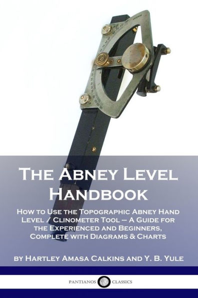
This official handbook of the U.S. Forest Service explains how to use the Abney hand level, a clinometer tool used to measure angles in various natural environments.
The Abney tool was invented by William de Wiveleslie Abney, an English astronomer, during the 1870s. By the time the device was recognized and widely-used in the early 20th century, it had been refined. Though earlier guides cover its basic usage, this U.S. government commissioned handbook offers exhaustive demonstration and instruction on the tool's abilities. The authors - Hartley Calkins and Y. B. Yule - were themselves experienced reconnaissance surveyors with ample experience traversing and measuring the rugged woodland landscapes of North America.
The Abney level is used to this day by land surveyors, geologists, foresters, and safety inspectors; in good hands, it is reliable for its accuracy. At roughly $60-100 in price it is affordable, durable, lightweight and - being handheld - portable. The Abney Level Handbook, first published in 1927 and expanded in 1935, remains the authoritative source simply as it covers the subject exhaustively well. This edition faithfully reproduces the words and instructions given, and includes all of the diagrams, graphs, drawings and charts present in the 1935 version.

The Abney Level Handbook: How to Use the Topographic Abney Hand Level / Clinometer Tool - A Guide for the Experienced and Beginners, Complete with Diagrams & Charts
48
The Abney Level Handbook: How to Use the Topographic Abney Hand Level / Clinometer Tool - A Guide for the Experienced and Beginners, Complete with Diagrams & Charts
48
Product Details
| ISBN-13: | 9781789870503 |
|---|---|
| Publisher: | Pantianos Classics |
| Publication date: | 01/01/1935 |
| Pages: | 48 |
| Product dimensions: | 6.00(w) x 9.00(h) x 0.12(d) |
