
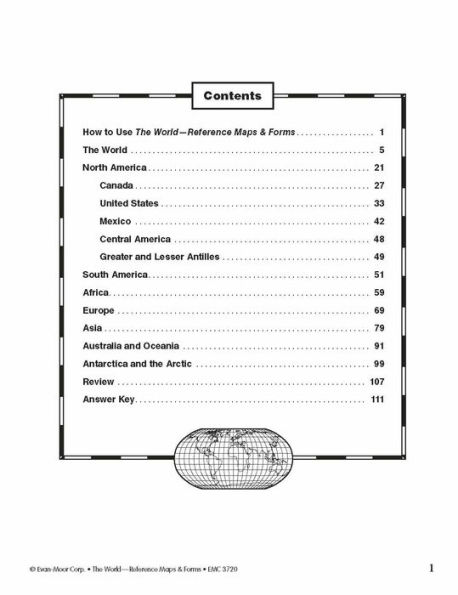
The first section, The World, includes:
- an introduction of general facts about the world
- a list of 192 countries in the world
- a reference political map of the continents
- a blank world map
- Robinson and Mercator projection maps
- globes, showing hemispheres, parallels, and meridians
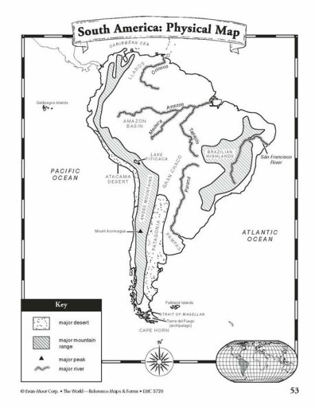
- maps of oceans, rivers, mountain ranges, and deserts
The second section, The Continents, includes:
North America:
- an introduction, listing the countries, area, population, elevations, and fun facts about the continent
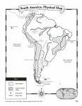
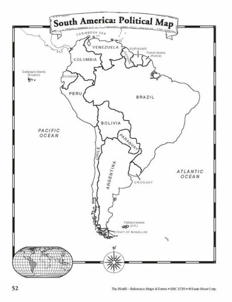
- reference political and physical maps of North America, Canada, the United States, and Mexico
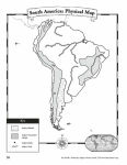
- blank outline maps of North America, Canada, the United States, and Mexico—shape, political, and physical
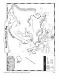
- study maps of each region of the United States and Mexico and the provinces and territories of Canada
- a reference map of six regions of the United States
- study maps of Central America, the Greater Antilles, and a reference map of the Lesser Antilles
Africa, Europe, Asia, and Australia
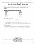
- an introduction, listing the countries, area, population, elevations, and fun facts about the continent
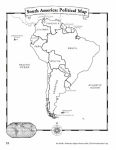
- a reference political and a physical map of the continent (a political map of Oceania is included with Australia)
- blank outline maps of the continent—shape, political, and physical
- study maps of regions of the continent
Antarctica and the Arctic Region
- an introduction, listing the area, elevations, and fun facts about the continent
- reference polar projection maps of Antarctica and the Arctic Region
- a reference map of the scientific stations in Antarctica
- blank outline projection maps of Antarctica and the Arctic Region
This resource contains teacher support pages, reproducible student pages, and an answer key. This is a reproducible resource (photocopying of lessons is permitted) for single classroom or individual home use only.
About Evan-Moor Educational Publishers
Igniting young minds to help every child learn and succeed! Evan-Moor creates engaging and meaningful learning resources for children in grades PreK - 8. Trusted by parents and teachers for over 45 years, Evan-Moor's award-winning resources are thoughtfully developed to nurture children's hearts and minds to help them reach their full potential.
The first section, The World, includes:
- an introduction of general facts about the world
- a list of 192 countries in the world
- a reference political map of the continents
- a blank world map
- Robinson and Mercator projection maps
- globes, showing hemispheres, parallels, and meridians
- maps of oceans, rivers, mountain ranges, and deserts
The second section, The Continents, includes:
North America:
- an introduction, listing the countries, area, population, elevations, and fun facts about the continent
- reference political and physical maps of North America, Canada, the United States, and Mexico
- blank outline maps of North America, Canada, the United States, and Mexico—shape, political, and physical
- study maps of each region of the United States and Mexico and the provinces and territories of Canada
- a reference map of six regions of the United States
- study maps of Central America, the Greater Antilles, and a reference map of the Lesser Antilles
Africa, Europe, Asia, and Australia
- an introduction, listing the countries, area, population, elevations, and fun facts about the continent
- a reference political and a physical map of the continent (a political map of Oceania is included with Australia)
- blank outline maps of the continent—shape, political, and physical
- study maps of regions of the continent
Antarctica and the Arctic Region
- an introduction, listing the area, elevations, and fun facts about the continent
- reference polar projection maps of Antarctica and the Arctic Region
- a reference map of the scientific stations in Antarctica
- blank outline projection maps of Antarctica and the Arctic Region
This resource contains teacher support pages, reproducible student pages, and an answer key. This is a reproducible resource (photocopying of lessons is permitted) for single classroom or individual home use only.
About Evan-Moor Educational Publishers
Igniting young minds to help every child learn and succeed! Evan-Moor creates engaging and meaningful learning resources for children in grades PreK - 8. Trusted by parents and teachers for over 45 years, Evan-Moor's award-winning resources are thoughtfully developed to nurture children's hearts and minds to help them reach their full potential.


The World - Reference Maps & Forms, Grade 3 - 6 - Teacher Resource
112


The World - Reference Maps & Forms, Grade 3 - 6 - Teacher Resource
112Paperback(Teacher's Edition)

Product Details
| ISBN-13: | 9781557999542 |
|---|---|
| Publisher: | Evan-Moor Educational Publishers |
| Publication date: | 01/01/2004 |
| Series: | World & U.S. Maps |
| Edition description: | Teacher's Edition |
| Pages: | 112 |
| Product dimensions: | 8.50(w) x 11.00(h) x 0.30(d) |
| Age Range: | 8 - 12 Years |