
Washington Easy to Read
Rand McNally's Easy To Read State Folded Map is a must-have for anyone traveling in and around Washington, offering unbeatable accuracy and reliability at a great price. Our trusted cartography shows all Interstate, U.S., state, and county highways, along with clearly indicated parks, points of interest, airports, county boundaries, and streets. The easy-to-use legend and detailed index make for quick and easy location of destinations. You'll see why Rand McNally folded maps have been the trusted standard for years. - Regularly updated, full-color maps. - 30% larger map with a bigger type size than the Rand McNally Folded Map. - Clearly labeled Interstate, U.S., state, and county highways. - Indications of parks, points of interest, airports, county boundaries, and more. - Mileage and driving times map. - Detailed index. - Convenient folded size. Coverage Area Detailed maps of: Bellingham, Mount Rainier National Park, Olympia, Seattle/Tacoma & Vicinity, Downtown Seattle, Spokane, Vancouver, Yakima. Product Details: Dimensions (unfolded): 28" x 40".
1139916421
Washington Easy to Read
Rand McNally's Easy To Read State Folded Map is a must-have for anyone traveling in and around Washington, offering unbeatable accuracy and reliability at a great price. Our trusted cartography shows all Interstate, U.S., state, and county highways, along with clearly indicated parks, points of interest, airports, county boundaries, and streets. The easy-to-use legend and detailed index make for quick and easy location of destinations. You'll see why Rand McNally folded maps have been the trusted standard for years. - Regularly updated, full-color maps. - 30% larger map with a bigger type size than the Rand McNally Folded Map. - Clearly labeled Interstate, U.S., state, and county highways. - Indications of parks, points of interest, airports, county boundaries, and more. - Mileage and driving times map. - Detailed index. - Convenient folded size. Coverage Area Detailed maps of: Bellingham, Mount Rainier National Park, Olympia, Seattle/Tacoma & Vicinity, Downtown Seattle, Spokane, Vancouver, Yakima. Product Details: Dimensions (unfolded): 28" x 40".
9.99
In Stock
5
1

Washington Easy to Read
2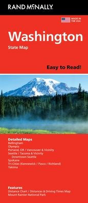
Washington Easy to Read
2
9.99
In Stock

Product Details
| ISBN-13: | 9780528028687 |
|---|---|
| Publisher: | Rand McNally |
| Publication date: | 05/08/2024 |
| Pages: | 2 |
| Product dimensions: | 4.00(w) x 9.00(h) x 0.25(d) |
From the B&N Reads Blog