
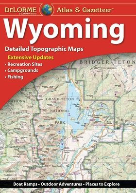
With a total of 60 map pages, the Atlas & Gazetteer is your most comprehensive navigational guide to Wyoming's backcountry.
Full-color topographic maps provide information on everything from cities and towns to historic sites, scenic drives, recreation areas, trailheads, boat ramps and prime fishing spots.
Extensively indexed.
Handy latitude/longitude overlay grid for each map allows you to navigate with GPS.
Inset maps provided for Yellowstone National Park, major cities as well as all state lands.
Product Details: Wyoming State
Dimensions: 15.5" x 11".
AVAILABLE FOR ALL 50 STATES!


Product Details
| ISBN-13: | 9781946494085 |
|---|---|
| Publisher: | DeLorme |
| Publication date: | 10/06/2017 |
| Product dimensions: | 10.80(w) x 15.30(h) x 0.30(d) |