
Rand McNally Classroom Atlas 14th Edition
All new edition of Rand McNally's award-winning Classroom Atlas. This new edition includes 80 new pages (for a total of over 200 pages) of maps, charts & figures about the world, as well as a new special section with deeper coverage of the United States. Give your 4th-9th grade students the advantage of working with this best-selling atlas. Clearly organized by continent, Rand McNally's Classroom Atlas is packed with maps, photos, infographics, critical-thinking questions, and brain teasers -- all helping to develop map skills and build global competency in your students. Atlas features: - Over 200 pages packed with maps, photos, infographics, critical-thinking questions & brain teasers. - Help develop map skills & build global competency. - Includes essential how-to information on using an atlas. - Dimensions: 8.5" x 10.875" - Perfect Bound - 208 pages.
1147595417
Rand McNally Classroom Atlas 14th Edition
All new edition of Rand McNally's award-winning Classroom Atlas. This new edition includes 80 new pages (for a total of over 200 pages) of maps, charts & figures about the world, as well as a new special section with deeper coverage of the United States. Give your 4th-9th grade students the advantage of working with this best-selling atlas. Clearly organized by continent, Rand McNally's Classroom Atlas is packed with maps, photos, infographics, critical-thinking questions, and brain teasers -- all helping to develop map skills and build global competency in your students. Atlas features: - Over 200 pages packed with maps, photos, infographics, critical-thinking questions & brain teasers. - Help develop map skills & build global competency. - Includes essential how-to information on using an atlas. - Dimensions: 8.5" x 10.875" - Perfect Bound - 208 pages.
18.0
In Stock
5
1


Rand McNally Classroom Atlas 14th Edition
208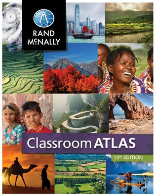
Rand McNally Classroom Atlas 14th Edition
208Paperback
$18.00
18.0
In Stock

Product Details
| ISBN-13: | 9780528026591 |
|---|---|
| Publisher: | Rand McNally |
| Publication date: | 05/20/2022 |
| Pages: | 208 |
| Product dimensions: | 8.30(w) x 10.80(h) x 0.30(d) |
From the B&N Reads Blog