
5
1
9780521106948


Atlas of Historical Eclipse Maps: East Asia 1500 BC-AD 1900 available in Hardcover, Paperback


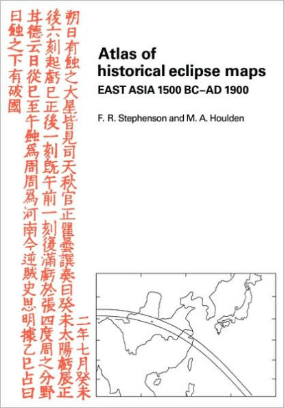
Atlas of Historical Eclipse Maps: East Asia 1500 BC-AD 1900

- ISBN-10:
- 052110694X
- ISBN-13:
- 9780521106948
- Pub. Date:
- 04/02/2009
- Publisher:
- Cambridge University Press
- ISBN-10:
- 052110694X
- ISBN-13:
- 9780521106948
- Pub. Date:
- 04/02/2009
- Publisher:
- Cambridge University Press
Atlas of Historical Eclipse Maps: East Asia 1500 BC-AD 1900
$51.99
51.99
In Stock

Product Details
| ISBN-13: | 9780521106948 |
|---|---|
| Publisher: | Cambridge University Press |
| Publication date: | 04/02/2009 |
| Pages: | 448 |
| Product dimensions: | 6.60(w) x 9.60(h) x 3.30(d) |
From the B&N Reads Blog