
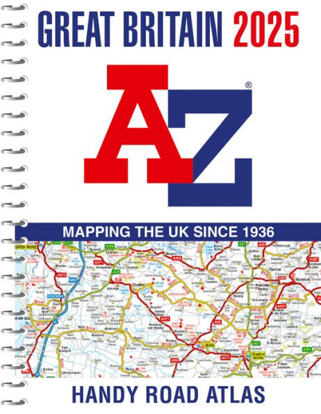
Navigate your way around Great Britain with this detailed and easy-to-use A-Z Road Atlas
A full-color, spiral-bound road atlas, now fully revised and updated. Clear detailed road mapping at a scale of 5 miles to 1 inch. Presented in a compact A5 size for ease of storage.
This handy road atlas of Great Britain includes:
- Mileage chart
- Channel Tunnel terminus maps
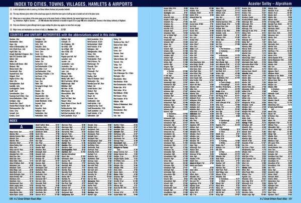
- Index to cities, towns, villages, hamlets and major destinations
- Map reference information also in French and German
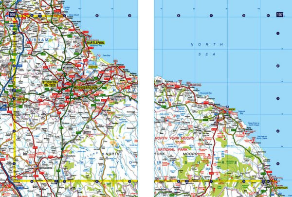
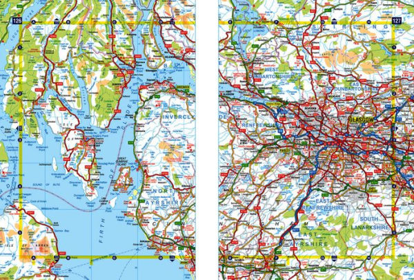
Instantly recognizable and easy to use, the road mapping has been specifically tailored for the smaller scale featuring: clear standard road classification colours for easy identification, motorway junction symbols, under construction and proposed roads, primary route destinations, service areas, National and county boundaries, and a wide range of tourist and ancillary information, including Blue Flag Beaches.
This A-Z Handy Road Atlas of Great Britain and Northern Ireland is the perfect choice for those wanting a compact spiral-bound publication with A-Z quality road mapping.
Navigate your way around Great Britain with this detailed and easy-to-use A-Z Road Atlas
A full-color, spiral-bound road atlas, now fully revised and updated. Clear detailed road mapping at a scale of 5 miles to 1 inch. Presented in a compact A5 size for ease of storage.
This handy road atlas of Great Britain includes:
- Mileage chart
- Channel Tunnel terminus maps
- Index to cities, towns, villages, hamlets and major destinations
- Map reference information also in French and German
Instantly recognizable and easy to use, the road mapping has been specifically tailored for the smaller scale featuring: clear standard road classification colours for easy identification, motorway junction symbols, under construction and proposed roads, primary route destinations, service areas, National and county boundaries, and a wide range of tourist and ancillary information, including Blue Flag Beaches.
This A-Z Handy Road Atlas of Great Britain and Northern Ireland is the perfect choice for those wanting a compact spiral-bound publication with A-Z quality road mapping.


Great Britain A-Z Handy Road Atlas 2025 (A5 Spiral)
256


Great Britain A-Z Handy Road Atlas 2025 (A5 Spiral)
256(Spiral Bound)

Product Details
| ISBN-13: | 9780008652937 |
|---|---|
| Publisher: | HarperCollins UK |
| Publication date: | 06/18/2024 |
| Pages: | 256 |
| Product dimensions: | 5.50(w) x 7.50(h) x 0.50(d) |