
Cycle the historic 2.6 mile Lafitte Greenway, breathe in the fresh air in shady Audubon Park, explore three centuries of Louisiana history at the Cabildo, and decide where you want to go next and what you want to see in each of the city's exciting neighbourhoods.
Inside Lonely Planet's New Orleans City Map:
- Full colour map in a durable easy-fold format
- Waterproof and packaged in a handy slipcase
- Alphanumeric grid to find points of interest easily
- Public transport explained to help you get around
- Top picks of must-see highlights including Frenchmen Street, National WWII Museum, and St Louis Cathedral
- Essential travel tips and nuts and bolts information on money, food & drink, festivals and events
- Beautiful photography and bonus zoomed-in map of Mid-City, Esplanade Ridge & Bayou St John
- Covers: French Quarter; Garden District; Gretna; Irish Channel; Lower Garden District; Mid-City; Riverbend; St Roch; The Tremé; Uptown; Warehouse District
Get ready for your next adventure with Lonely Planet's New Orleans City Map, the ultimate navigation tool to help you explore New Orleans' well-known attractions and best-kept secrets.


Lonely Planet New Orleans City Map
2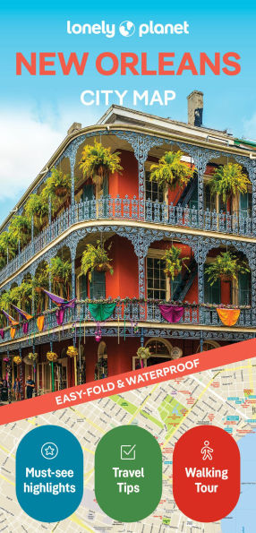
Lonely Planet New Orleans City Map
2(2nd ed.)

Product Details
| ISBN-13: | 9781787015999 |
|---|---|
| Publisher: | Lonely Planet |
| Publication date: | 08/26/2025 |
| Series: | Map Series |
| Edition description: | 2nd ed. |
| Pages: | 2 |
| Product dimensions: | 3.80(w) x 7.75(h) x 0.25(d) |