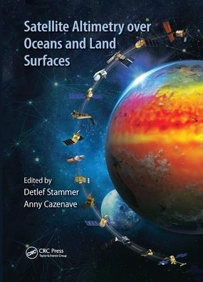
Satellite remote sensing, in particular by radar altimetry, is a crucial technique for observations of the ocean surface and of many aspects of land surfaces, and of paramount importance for climate and environmental studies. This book provides a state-of-the-art overview of the satellite altimetry techniques and related missions, and reviews the most-up-to date applications to ocean dynamics and sea level. It also discusses related space-based observations of the ocean surface and of the marine geoid, as well as applications of satellite altimetry to the cryosphere and land surface waters; operational oceanography and its applications to navigation, fishing and defense.
1135350215
Satellite Altimetry Over Oceans and Land Surfaces
Satellite remote sensing, in particular by radar altimetry, is a crucial technique for observations of the ocean surface and of many aspects of land surfaces, and of paramount importance for climate and environmental studies. This book provides a state-of-the-art overview of the satellite altimetry techniques and related missions, and reviews the most-up-to date applications to ocean dynamics and sea level. It also discusses related space-based observations of the ocean surface and of the marine geoid, as well as applications of satellite altimetry to the cryosphere and land surface waters; operational oceanography and its applications to navigation, fishing and defense.
86.99
In Stock
5
1

Satellite Altimetry Over Oceans and Land Surfaces
670
Satellite Altimetry Over Oceans and Land Surfaces
670
86.99
In Stock

Product Details
| ISBN-13: | 9780367874841 |
|---|---|
| Publisher: | CRC Press |
| Publication date: | 12/12/2019 |
| Series: | Earth Observation of Global Changes |
| Pages: | 670 |
| Product dimensions: | 7.00(w) x 10.00(h) x (d) |
About the Author
From the B&N Reads Blog
