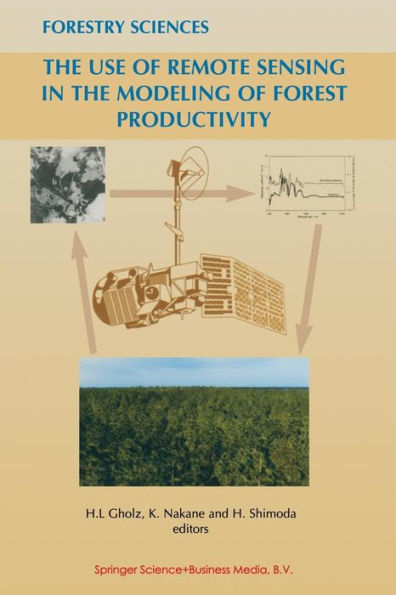
Forests comprise the greatest storage of carbon on land, provide fuel for millions, are the habitat for most terrestrial biodiversity, and are critical to the economies of many countries. Yet changes in the extent and dynamics of forests are inherently difficult to detect and quantify. Remote sensing technologies may facilitate the measurement of some key forest properties which, when combined with other information contained in various computer models, may allow for the quantification of critical forest functions. This book explores how remote sensing and computer modeling can be combined to estimate changes in the carbon storage, or productivity, of forests - from the level of the leaf to the level of the globe. Land managers, researchers, policy makers and students will all find stimulating discussions among an international set of experts at the cutting edge of the interface between science, technology and management.
1006360442
The Use of Remote Sensing in the Modeling of Forest Productivity
Forests comprise the greatest storage of carbon on land, provide fuel for millions, are the habitat for most terrestrial biodiversity, and are critical to the economies of many countries. Yet changes in the extent and dynamics of forests are inherently difficult to detect and quantify. Remote sensing technologies may facilitate the measurement of some key forest properties which, when combined with other information contained in various computer models, may allow for the quantification of critical forest functions. This book explores how remote sensing and computer modeling can be combined to estimate changes in the carbon storage, or productivity, of forests - from the level of the leaf to the level of the globe. Land managers, researchers, policy makers and students will all find stimulating discussions among an international set of experts at the cutting edge of the interface between science, technology and management.
54.99
In Stock
5
1

The Use of Remote Sensing in the Modeling of Forest Productivity
327
The Use of Remote Sensing in the Modeling of Forest Productivity
327Paperback(Softcover reprint of the original 1st ed. 1997)
$54.99
54.99
In Stock

Product Details
| ISBN-13: | 9789401062909 |
|---|---|
| Publisher: | Springer Netherlands |
| Publication date: | 10/23/2012 |
| Series: | Forestry Sciences , #50 |
| Edition description: | Softcover reprint of the original 1st ed. 1997 |
| Pages: | 327 |
| Product dimensions: | 6.30(w) x 9.45(h) x 0.03(d) |
From the B&N Reads Blog
